Exploring how we use innovative technology and data to improve accuracy and transparency in carbon accounting.
September 9, 2024
Questions and answers with Equitable Earth’s dMRV technology partner, Chloris Geospatial:
How did Chloris Geospatial start and what were its initial goals?
Chloris Geospatial was founded in 2021 to address a critical gap in the voluntary carbon market: the need for detailed data to measure carbon stored in vegetation, driven by cutting-edge carbon monitoring science.
Co-founders Marco Albani and Dr. Alessandro Baccini, leveraging over 20 years of expertise in forest science, remote sensing, and climate action, recognized the need for accurate, scalable, and cost-effective data to help businesses understand their impact on nature. Together with Mark Friedl and Giulio Boccaletti, they established Chloris to fill this gap in the digital measuring, reporting, and verification (dMRV) space. Utilizing advanced machine learning, AI, and amassed data from different types of sensors and imaging systems (sensor fusion), Chloris’ goal is to support businesses in understanding their environmental impact and promoting a net-zero and nature-positive future by providing scalable and reliable forest carbon data.
How would you explain the basics of what Chloris does, and how its technology works, to someone who is unfamiliar with your work and with the industry?
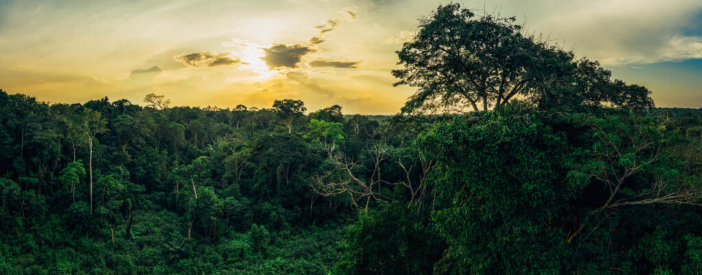
Chloris is a technology company specializing in generating data and insights on the amount of carbon stored in trees, and how it changes over time. These carbon changes are caused by the loss of standing trees, which emit carbon into the atmosphere, and from the growth of trees, which absorb carbon from the atmosphere.
To measure these changes accurately, we leverage our unique remote sensing expertise in the field and process terabytes of raw data collected by several Earth Observation sensors. This is made possible thanks to advances in cloud-computing, Artificial Intelligence, machine learning and advanced remote-sensing science. Our technology allows us to create robust carbon data for any area of interest, anywhere in the world, in a very efficient way. It offers a solution for more quality, consistency and comparability of forest carbon data and thereby strengthens the development, certification and monitoring of forest carbon projects around the world.
What sets you apart from other DMRV providers?
Chloris is a pioneer of what is referred to as “direct biomass estimation.” It is a new approach that measures forest carbon changes from space, providing location-specific carbon data with full scalability and consistency. It is a significant departure from traditional methods that derive carbon estimates from land cover categories and their changes (activity data) and average carbon values (emission factors). Those approaches can overlook significant biomass gains and losses that are critical to understand carbon emissions and removals. For example: a “forest” can still be classified as forest – and hence no emissions reported – even though the density of the forest has decreased significantly. From an atmospheric and climate integrity perspective, that is problematic, and we believe it is no longer good enough. Because our technology is spatially explicit, we detect all statistically significant changes in above-ground biomass: not only losses from deforestation, but also losses from degradation and other disturbance events. We also quantify the biomass gains (carbon removals from the atmosphere) achieved by the growth and regrowth of trees and forests. Last but not least, we generate data quickly and cost-effectively, so that MRV costs can be minimized without losing out on quality and ensuring that project budgets can be optimized for action on the ground, rather than MRV.
What specific types of geospatial data do you use to measure and report carbon stocks?
Our multi-sensor approach mostly uses space agency data from NASA and ESA. We work with spaceborne and airborne LiDAR to train our machine learning and AI algorithms and process the entire Landsat archive from 1998, and Sentinel satellites. We generate annual carbon estimates at the spatial resolution of 30 meters that goes back to the year 2000 and at 10 meters spatial resolution that goes back to 2017. To be able to work with that amount of data, we built a novel cloud-based software infrastructure that is capable of processing data quickly, reliably and efficiently.
How does Chloris’s new spaceborne technology provide a more granular and more accurate measurement of changes to forests and ecosystems?
We continuously monitor biomass density using annual data from 2000 onwards, which allows us to reliably measure what matters most: the changes in forest carbon stocks. Our time series approach is a key part of the innovation. This method reduces errors and noise compared to other approaches, which often simply generate carbon stock maps for a specific point in time. Our continuous mapping of biomass density changes in space and time provides greater confidence in change estimates, enabling a more complete and robust quantification of carbon emissions (including those from deforestation or degradation, as well as any other human or natural disturbances) and carbon removals (including those achieved by intact, protected forests and restoration, reforestation, or afforestation).
What is Chloris’s technology capable of measuring and monitoring right now, and how do you see this improving and changing?
Currently, Chloris quantifies biomass stock and changes from natural and anthropogenic sources at two scales: 30m resolution from 2000 to 2023 and 10m resolution from 2017 to 2023. We do it wall-to-wall, for any area of interest, with no missing pixels, even in very cloudy areas.
As new data from upcoming space missions become available, we plan to integrate these measurements to improve the sensitivity and frequency of our biomass reporting. While we currently provide annual data with an estimate of uncertainty at pixel level, we plan to offer sub-annual estimates in the future, improving the confidence and accuracy of our data.
How do you see digital measurement, reporting and verification contributing to climate action over the long term?
Done right, digital MRV will continue to enhance the transparency, reliability, consistency, comparability, and scalability of the carbon estimates that underpin the development, financing and impact reporting for natural climate solutions. It is not a silver bullet. But to reach the scale of action needed, it is critical that climate action is supported with scalable, robust and trustworthy data. Digital solutions that leverage new technologies, cutting-edge science, and subject matter expertise have a critical role to play.
How do you think the Chloris partnership with Equitable Earth will bring integrity to the voluntary carbon market?
Our partnership with the Equitable Earth Coalition stems from our shared commitment to unlocking more climate finance for forest conservation, in close and equitable partnerships with local communities. We are proud to support Equitable Earth with our data and technology. In the context of the voluntary carbon market, “Integrity” is of course about much more than better carbon measurements, and we only bring in a part of the solution. But being able to quantify the carbon benefits of forest conservation more accurately and efficiently is a critical element of a voluntary carbon market that meets its promises towards local communities.
Where do you see room for improvement, and opportunities for innovation, in the DMRV field in climate action and carbon accounting? What role will Chloris play in this, moving forward?
Further improvements are definitely to be expected. For example, we see opportunities for improved frequency of new satellite imagery and more real-time monitoring, particularly for biomass losses. Other opportunities include improved models to forecast carbon removals, and to predict where losses might happen next. Such improved alert functions can support local interventions, community engagement and planning for more effective forest conservation. Chloris will continue to innovate and push applied science to develop cutting-edge products for carbon accounting and dMRV.