Our new approach for efficient & accurate carbon accounting
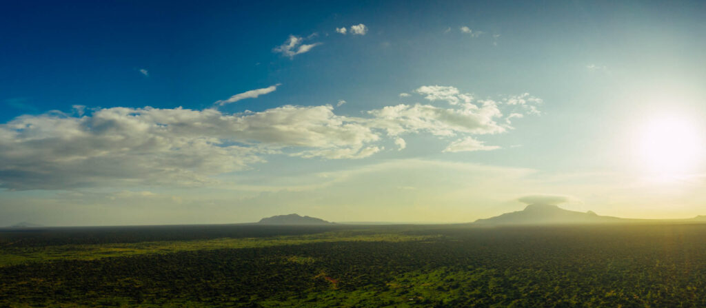
Measuring and verifying forest biomass estimates for greenhouse gas (GHG) accounting is important and challenging. The accuracy of biomass data has direct repercussions for the integrity of climate financing and claims related to forest conservation and restoration.
Equitable Earth’s technology partner in greenhouse gas accounting, Chloris Geospatial, measures carbon stock and change to bring more precise, timely, and automated data to the table. This new approach enhances the efficiency and accuracy of GHG accounting compared to legacy land cover change techniques used in the REDD+ space.
Key takeaways:
- Improved accuracy and transparency: Instead of depending on rough estimates of logged or cut trees (activity data), Chloris Geospatial technology captures continuous forest degradation and growth via remote sensing, which significantly advances the accuracy in measuring the actual carbon stock and continual change of the living forest.
- Location specific with pixel level detail: Chloris measures biomass change at the pixel level, unlocking significant advances in location-specific monitoring, baseline setting, and uncertainty measurement at resolutions not previously possible.
- Data consistency: Chloris applies the same LiDAR-based methodology across geographies, which improves the ability to reliably compare projects across the world over time.
- Scalability and cost-effectiveness: Chloris’s cloud-based data software allows users to accelerate project development and help optimize constrained budgets to prioritize on-the-ground activities.
Historically, carbon stock estimation has been achieved by comparing categorical and imprecise interpretations of land cover, such as forest and non-forest. This approach allowed for considerable errors, potentially overlooking significant biomass gains and losses critical to understanding GHG emissions and removals.
For example: a “forest” can still be classified as forest – and hence no emissions reported – even though carbon stocks may have decreased significantly. From an atmospheric and climate integrity perspective, this is problematic.
Conversely, because Chloris results deliver continuous measurement of biomass change at the pixel level, they can detect statistically significant changes in above-ground biomass.
To generate robust, annual biomass change estimates, Chloris processes every pixel value with a Bayesian time-series technique that removes noise in the remote-sensing data and identifies statistically significant changes for every pixel, as well as recognizing robust trends in carbon stock changes over time.
Chloris’ machine learning and AI technology leverages high-quality data points collected from multiple sensors, including spaceborne- and airborne-LiDAR and earth observations. This allows Chloris to generate continuous wall-to-wall maps of above-ground live woody biomass (trees and shrubs), with annual timestamps at 30m resolution (2000 to present) and 10m resolution (2017 to present).
This is a major advancement because the accuracy of remotely sensed biomass estimates can typically only be calculated via comparison with other estimates. To illustrate this point: calculation of actual tree biomass requires that they are weighed, which in turn requires a destructive sampling or harvesting operation. This is of course impractical or impossible at scale, meaning that every “measurement” of biomass – whether derived from field estimates or remote-sensing approaches – tends to be an estimate of the truth.
Rather than relying on challenging definitions of forests and literature- based emission factors, Chloris applies the same LiDAR-based methodology across geographies. Chloris’ technology not only captures losses from deforestation, but also losses from degradation and other disturbance events. Additionally, it measures the biomass gains (carbon removals from the atmosphere) achieved by the growth and regrowth of trees and forests, something that was not previously possible via remote sensing.
The result is a consistent dataset that captures biogeographic variation in biomass and scales with consistency across the entire planet. Users benefit from this consistency with improved ability to reliably compare project areas across geographies and over time.
Chloris’ technology significantly advances our ability to measure the entirety of the living forest, and changes made to it, instead of rough estimates of logged or cut trees. This unlocks significant advances in location specific monitoring and baseline setting, as well as uncertainty measurement at resolutions not previously possible.
By delivering the data via an efficient, cloud-based software infrastructure, the Chloris technology delivers this quality data at lower per hectare cost and higher speed of production than conventional approaches. It allows users to accelerate project development and help optimize constrained budgets for local project activities.
The Chloris approach to carbon stock and change measurement is based on more than a decade of peer-reviewed research, including studies recognized by the Intergovernmental Panel on Climate Change (IPCC). As a result, the technology has been extensively stress-tested and vetted by both the remote sensing and carbon cycle science communities. In addition, Chloris data are validated against independent, high quality data collected via airborne LiDAR and in-situ measurements from sites around the world.
Validation of carbon stock and change results
Chloris applies a rigorous internal validation process to compare its biomass estimates against independent, high-quality data from airborne LiDAR, ground LiDAR, UAV LiDAR, and field plots.
To learn more about the Chloris Technology and how it is validated, please visit the Resources Section on the Chloris Website.
Equitable Earth will periodically evaluate the results of Chloris’ carbon stock and change assessments using an independent group of third party experts, maintaining transparency and credibility while respecting the proprietary nature of the methods employed.